Pat's Photo Gallery

Angkor, Cambodia - February 2005
Part Three of Seven - Link to Part Four at bottom of the page

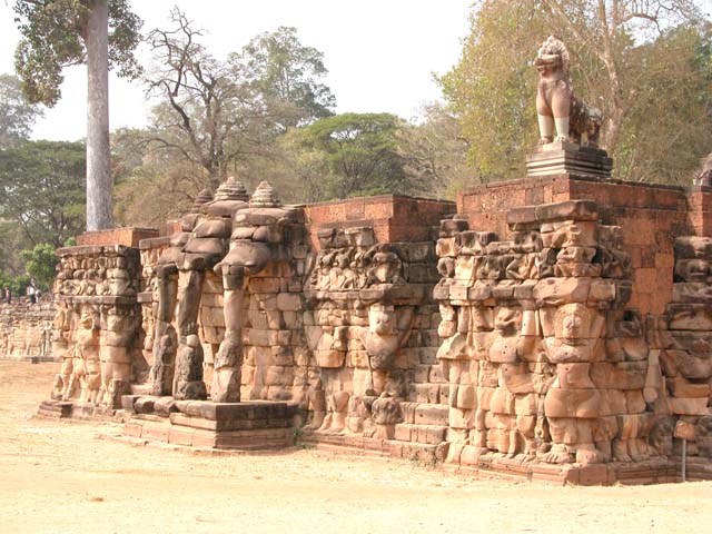
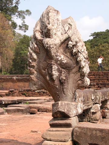
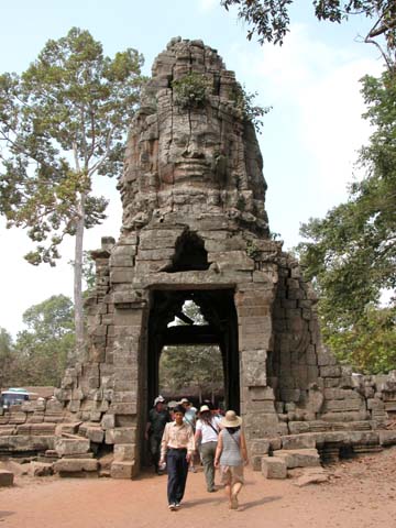
The great legacy of the ancient Khmer civilization, the temples of Angkor, cover 77 square miles in northwest Cambodia. Angkor was built between the 9th and 15th centuries. While there is no conclusive explanation, the decline of the Khmer Empire was probably due in part to proximity to the Thais,
frequent invaders of Angkor, and to depletion of the 13th century forests.
The Khmers eventually shifted their capital south to Phnom Penh.

Bayon Temple
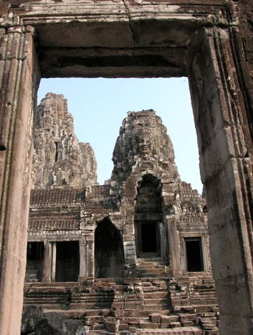
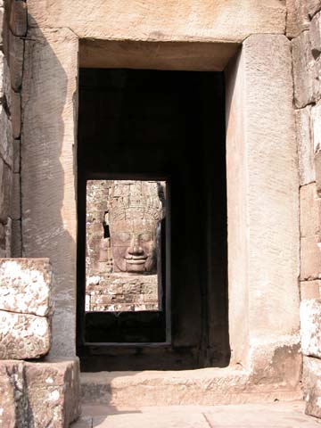
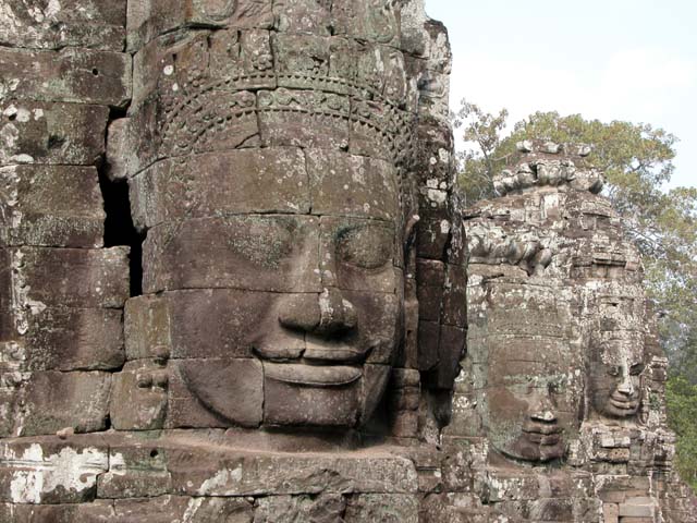
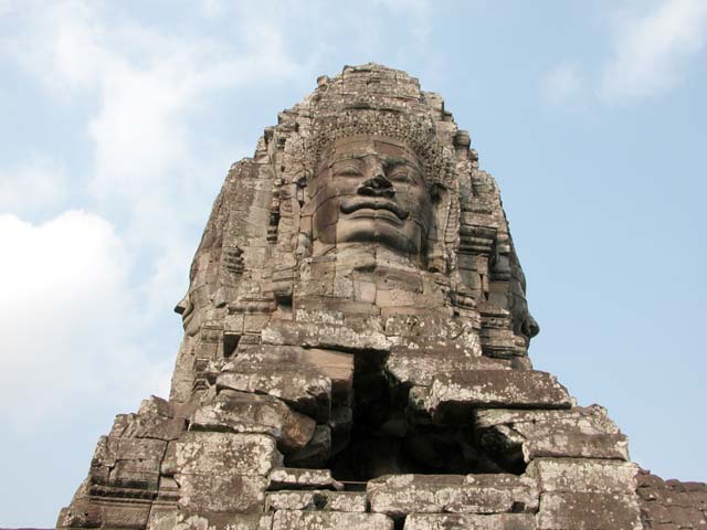
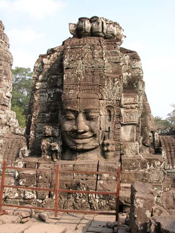
Bayon Temple, geographical center of ancient city of Angkor Thom,
part of the huge world historical site of Angkor

 Buddha through doorway
Face of a Buddha through a doorway - Most think the huges faces
at Bayon Temple are of the King to show his omnipresence; some
think the faces represent Lokeshvara, a bodhisattva (compassionate
being who could become a Buddha, but postpones nirvana to help mankind achieve enlightenment)
 
Three faces
Famous spot at Bayon Temple

Looking up
Looking up at one of the towers at Bayon

Yet another Buddha-like face
Another of the more than 200 faces on the 54 towers at Bayon

Elephants Terrace
Elephants Terrace near the Royal Palace at Angkor Thom - King viewed his troops near this spot as they went
to or returned from battle. Garudas, mythical creatures with human bodies & birdlike heads, shown on the right

Naga
A multi-headed naga - a protective serpent

Entrance to Ta Prohm
Entrance to Ta Prohm Temple

LINK TO ANGKOR & SIEM REAP - PART FOUR

Pat's Home Page