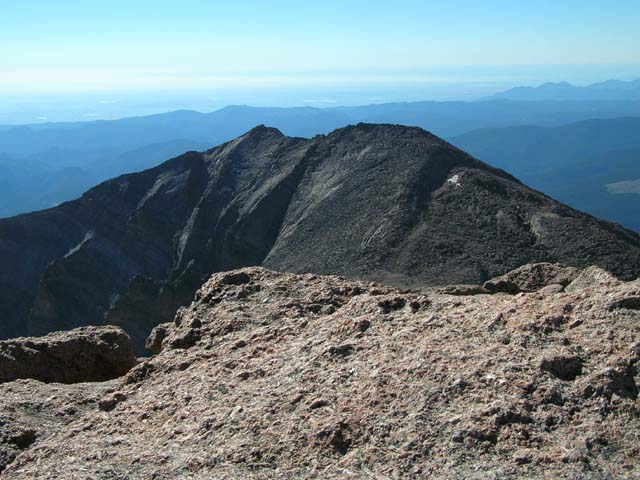
Mt. Meeker from Longs Peak
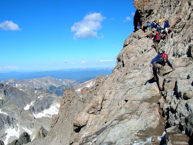
Looking up at the Homestretch after we had descended it
from the summit. There was a hiker going up when we were
heading down that told us he had lost his best friend several
years ago as a result of a fall on Longs.
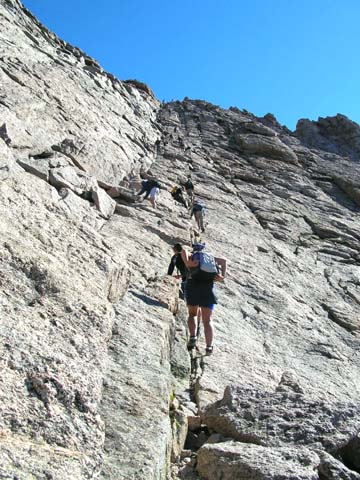
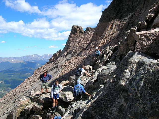
Heading back along The Narrows section of the Longs Peak trail that precedes the Homestretch going in.
There were still many people hiking in, and there were several places where there's no room to pass.
There were a few places where the trail was icy probably from the bad weather a few days ago.
There were also many places where a misstep probably meant a long fall and death.
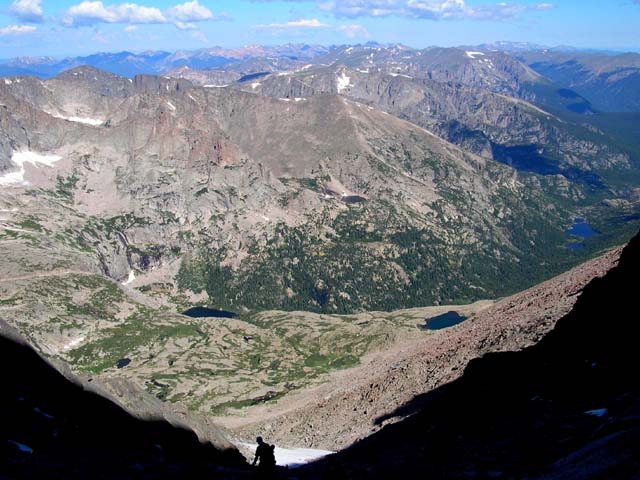
View of Black Lake on the left & Mills Lake & Jewel Lake on the right as seen from the Trough.
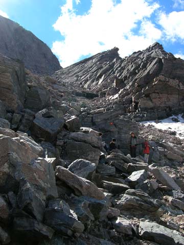
Looking up at the Trough from its base where it connects with
the Ledges section of the trail. The Trough is about a 800 ft.
vertical climb up to the Narrows. You have to watch for
falling rocks started by hikers above you while ascending &
descending it.
Note the "fried egg" (red & yellow circle)
that marks the trail.
Sometimes it's not essential
that you follow the fried eggs;
sometimes it's an absolute necessity.
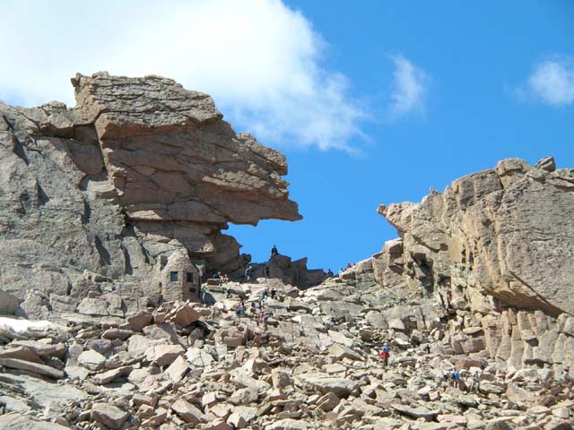
On the Ledges section heading back toward the Keyhole.
View of the Keyhole as we are heading down the Boulder Field. The trip to and from the Boulder Field
is a hike. Once you pass through the Keyhole, the hike becomes a Class 3 scramble where you
often have to use both hands and feet and look for handholds for upward movement.
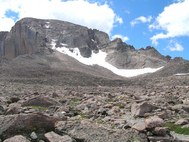
Leaving Longs Peak behind from the Boulder Field. The sheer Diamond face of Longs is on the left &
the Keyhole is on the right.
LINK BACK TO FIRST SET OF LONGS PEAK PHOTOS
Link to Pat's Home Page